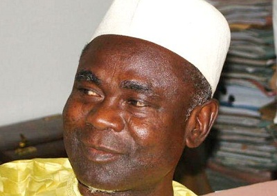
Dr Seidu Mohammed, director-general, National Space Research and Development Agency (NASRDA) has urged the Federal Government to do comprehensive mapping and inventory of flood plains in the country.
He said the comprehensive mapping and inventory was necessary for proper settlement planning, awareness and enlightenment of flood prone communities in the country.
Mohammed said that the agency was prepared to make available satellite images of flood plains in the country from the NigeriaSat-2.
``Immediately after the rain when the clouds are clear, sometimes in November, our satellite has already been tasked to start taking imageries, particularly of 2.5 metres resolution for the cities and five metres multi-spectral in the rural areas.
``In this ways, the flood plain of the major rivers in terms of the drainage densities and the pattern will be made available to various stakeholders, including government, to support our plans in flood management,’’ he said.
He said the NASRDA, as a member of the international Disaster Monitoring Constellation (DMC), had analysed the country’s flood situation using Synthetic-Aperture Radar (SAR) satellite of member countries.
He said that the SAR was used as most parts of the country were still cover with cloud making it difficult for optical satellites to acquire satellite images of the country.
``In the case of Kogi, the images we got on Oct. 29, revealed that the natural boundary of the flood plains was not exceeded.
``In the case of Adamawa, because of pressure from Lagdo Dam, it exceeded the flood plain boundary by 25 per cent.’’
He said that the result revealed that the road section between Banda Village and Lokoja and parts of Lokoja-Ganaja Roads were situated within the flood plains.
``They may have made a mistake passing some of these roads on these plains and when it was time for water to regain its original boundary, it just came and overtook most of those existing infrastructure and villages.
``It is imperative to construct a flyover bridge between Banda Village and Lokoja, while Lokoja-Ganaja Road should be raised above the present elevation and reinforced to forestall future reoccurrence.’’
He also counselled that enough drainage facilities should be provided for the roads.
Mohammed advocated for the development of flood contingency master-plan for the flood plains in Nigeria.
NASRDA Calls for Mapping, Inventory of Flood Plains
cwadmin11 Oct 20120 Comments
Dr Seidu Mohammed, director-general, National Space Research and Development Agency (NASRDA) has urged the Federal Government to do comprehensive mapping and inventory of flood plains in the country.…
c
Published by
cwadmin
Trained and practicing journalist passionate about telecommunications, fintech, cybersecurity, and digital economy reporting.
You May Like

U. S. Mission Nigeria Celebrates Azih, Nigerian for Fintech Innovation
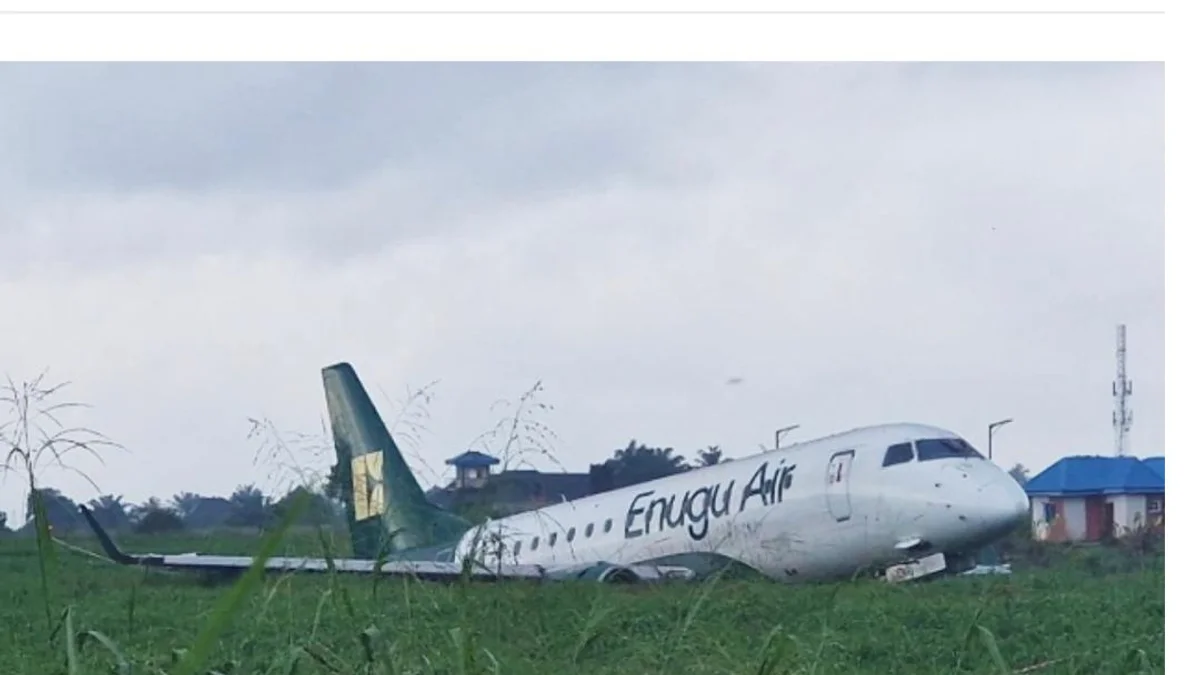
Autobrake Failure Contributed to Enugu Air’s Benin Runway Overrun - NSIB

NLNG, NCDMB Boost Engineering Research with Innovation Centre
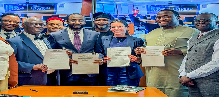
NITDA Seals Strategic Deals with Goose FL and Fireflies AI to Power $1 Trillion Digital Economy Vision

Anambra Seeks Digital Inclusion in Rural Communities